
Introduction
You can use the VoxelSpace WebUI to add a wide range of spatial entities—including point clouds, block models, terrain, meshes, and more. These entities serve as the foundation for analysis, visualization, collaboration, and reporting within your project.
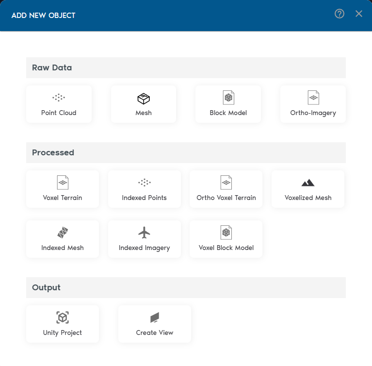
- Add Spatial Entities
Inside your project, click “Add Object” to begin adding spatial entities. VoxelSpace supports a wide range of input formats:
- Point Clouds
- Meshes (OBJ/FBX)
- Block Models
- Ortho-Imagery
- Process Your Raw Data
Once your raw data is in the system, VoxelSpace lets you convert it into optimized formats for analysis and visualization. These include:
- Indexed Mesh
- Indexed Point Cloud
- Voxel Terrain
- Voxel Block Model
- Voxelized Mesh
- Ortho Voxel Terrain
Voxelized Points
Choose the format that fits your use case—whether it's simulation, comparison, or rendering.
- Create a View
Views are where VoxelSpace truly shines. With a View, you can combine multiple datasets into a 3D scene, configure visual styles, explore cross-sections, and share insights with your team.
Views are collaborative, reusable, and can be saved or shared across your organization.